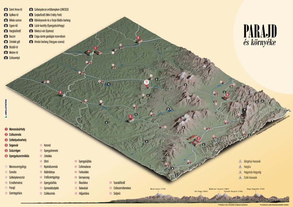
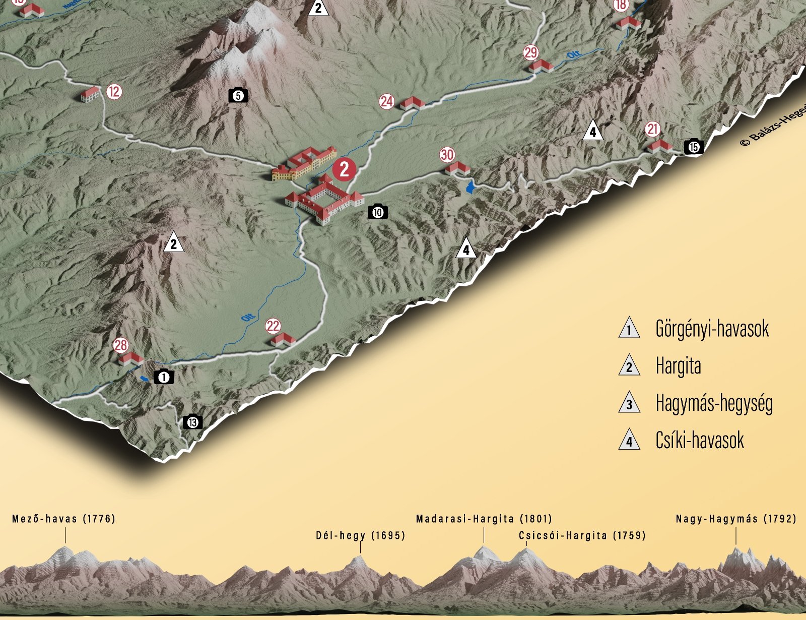
A 3D tourist map showcasing my hometown, Csíkszereda (Miercurea Ciuc, Romania), and its surrounding region. The terrain is based on real elevation data, with the mountains intentionally exaggerated to give them greater visual prominence and make the landscape more recognizable. As a result, the terrain representation is slightly different from the actual topography.
Tools: Adobe Illustrator, Blender, QGIS, Adobe Photoshop